RapidEye – Satellite System
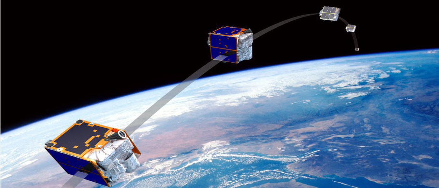
RapidEye 5 Satellite Constellation and JSS-56 Jena Spaceborn Scanner
About the project RapidEye – 12 units – acitve in space !!!
RapidEye‘s mission is Earth Observation (Camera Payload (FEE) , providing commercial data for agricultural, cartographic, scientific or insurance industry customers.
RapidEye can take daily pictures of every location on earth. Its systems collect, record, catalogue, process and store image data of the Earth‘s surface, and convert that data into visual information.
It will provide thematical maps for the determination of crop damage, crop planning and prediction as well as digital altitude maps. Apart from the usage by commercial customers the data shall also be made available to government and international institutions, for example for planning of humanitary missions or control of environmental arrangements.
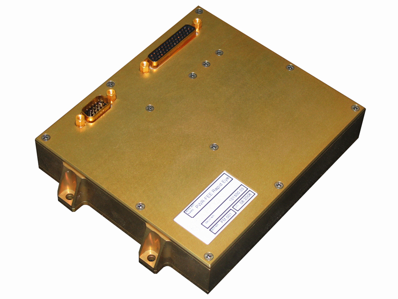
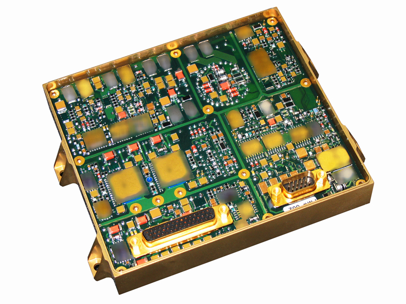
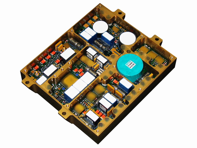
- APCON has designed and produces 10 flight models of the power supply for a part of the RapidEye payload.
- The redundant power supply provides seven voltage outputs and is RAD-hardened up to 100kRad.
- Earth Observation
- 10 flight models
About the project – JSS-56 KazMRES Mission 2 units – acitve in space !!!
JSS56 Jena Spaceborn Scanner – Power Supply for camera equipment (Payload)
SSTL is building a small satellite for the Republic of Kazakhstan that will provide medium resolution (6.5m GSD) multi-spectral earth observation capability to complement the high resolution satellite being provided by Airbus Defence and Space as part of the contract awarded to the company in October 2009.
Kazakhstan’s KazMRES satellite is based on the SSTL-150 platform and will incorporate advanced new technologies that have been developed for the NigeriaSat-2 satellite that include enhanced data handling and downlink capabilities.
Under the contract SSTL is also providing 6 months hands-on training for 16 engineers and 3 Managers from KGS starting from February 2012. The training programme comprises both theoretical and practical hands-on training.
The Republic of Kazakhstan is utilising the latest Earth Observation (EO) satellite technologies from Airbus Defence and Space and SSTL to create a national system which will support its government with resource monitoring, resource management, land-use mapping and environmental monitoring information for policy and decision making.
Satellite Data
Name: KazEOSat-2
Customer: The Republic of Kazakhstan
Mission: Earth Observation
Mass: 180kg
Platform: SSTL-150
Launch Date: 19 June 2014



More information
RapidEye Satellite
Delivers Images of
Haiti’s Damaged Areas! www.rapideye.de
jena-optronik.de/
rapideye.net/
JSS56 Scanner
KazEOSat-2.
www.jena-optronik.de/
www.sstl.co.uk
