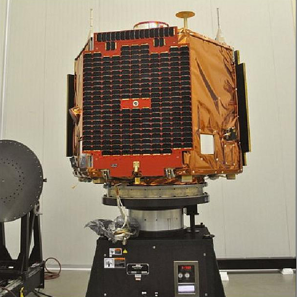
GÖKTÜRK-2
High Resolution Remote Sensing Satellite
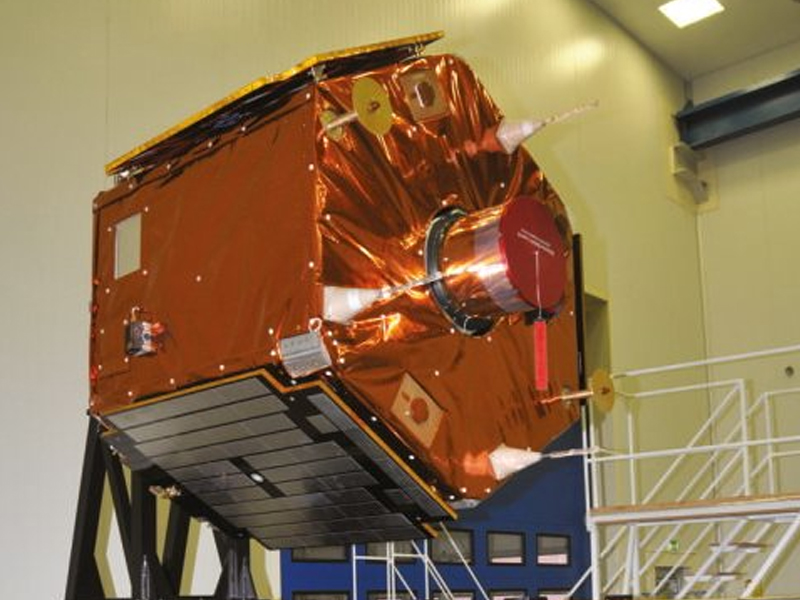
Turkey’s first high resolution electro-optical satellite GÖKTÜRK-2, has been indigenously designed by Turkish Aerospace Industries, Inc. (TAI) and TÜBITAK Space cooperation.
In addition to meet the Turkish Armed Forces high resolution image requirements, GÖKTÜRK-2 is being utilized for civilian activities such as control of forestland, tracking illegal construction, rapid assessment of damage after natural disasters, determination of agricultural boundaries and geographical data gathering.
The project has also furnished national industry with the capability of developing own spacecraft in Turkey including; design, integration and environmental test infrastructure.
The GÖKTÜRK-2 Program has been funded by the Scientific and Technological Research Council of Turkey (TÜBITAK) and conducted by the TAI & TUBITAK Space team under the coordination of Ministry of National Defense between 2007-2012.
Turkish satellite program, a 2.5 m resolution, reconnaissance and surveillance satellite system.
Main payload is a multi-spectral imager (MSI).
Features – APCON Power Supply:
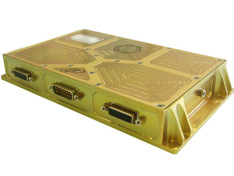
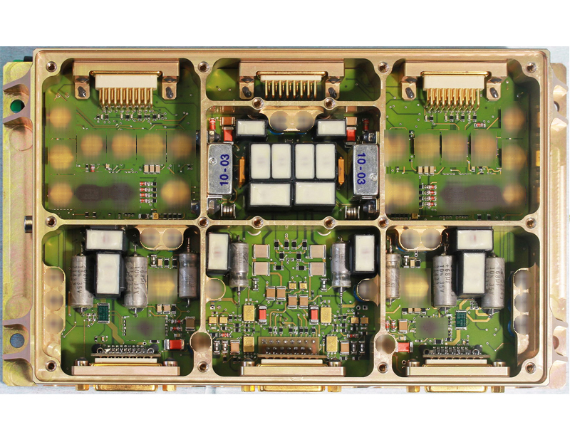
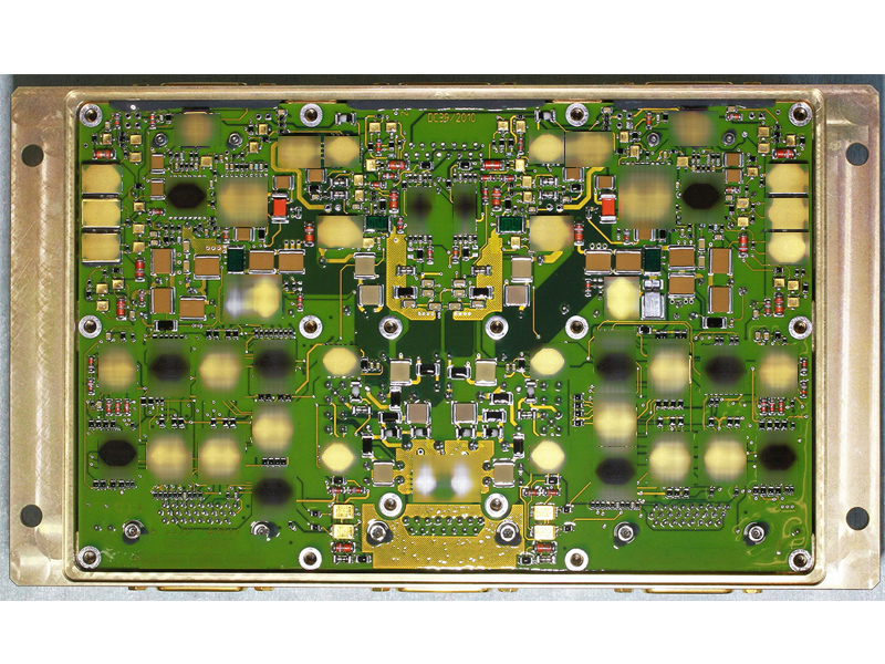
APCON has developed and produced the PyroDrive Actuater Module for the thermal Knife Actuator.
- The Pyro Drive Module controls the solar panel release of GökTürk-2 satellite by firing the 3 Thermal Knife actuators.
- Command by the satellite OBC and supplied by satellite PDU.
- Interfacing Satellite Power supply and OBC command & control.
- Thermal Knife actuator fire control including safe-and-arming functions. Single point failure free architecture, also considering hazard and safety critical aspects concerning actuator handling and firing.
